Buddhist Temple Research
2016 – 2017
Role: Primary Research, Data Analysis, Visualizing Stories, Interactive 3D Model, Publication
Team: Dr. Mario Santana & Davide Mezzino
Buddhist Temple Research
2016 – 2017
Role: Primary Research, Data Analysis, Visualizing Stories, Interactive 3D Model, Publication
Team: Dr. Mario Santana & Davide Mezzino
Challenge
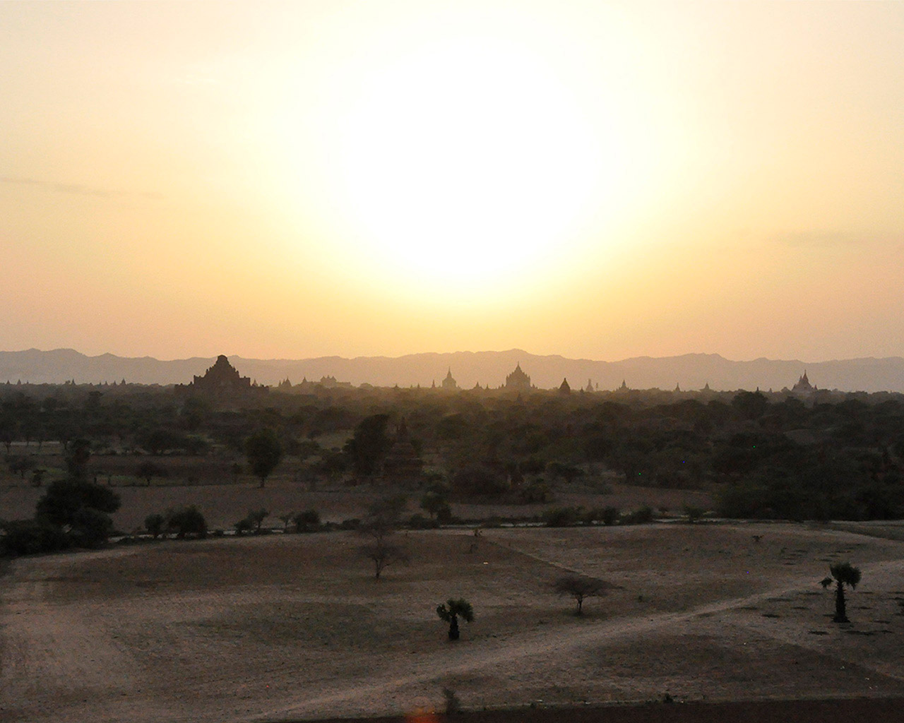
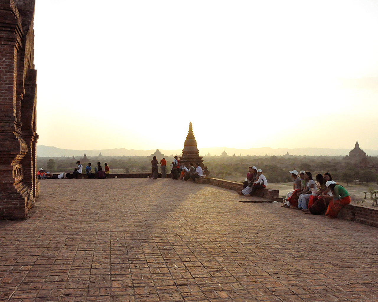
To document and consolidate digital information for the designation of Bagan, Myanmar as a UNESCO world heritage site. It was creating a method to best use the data – for its future conservation – and to tell the stories of these temples. At the time, this site had not been designated.
Scope
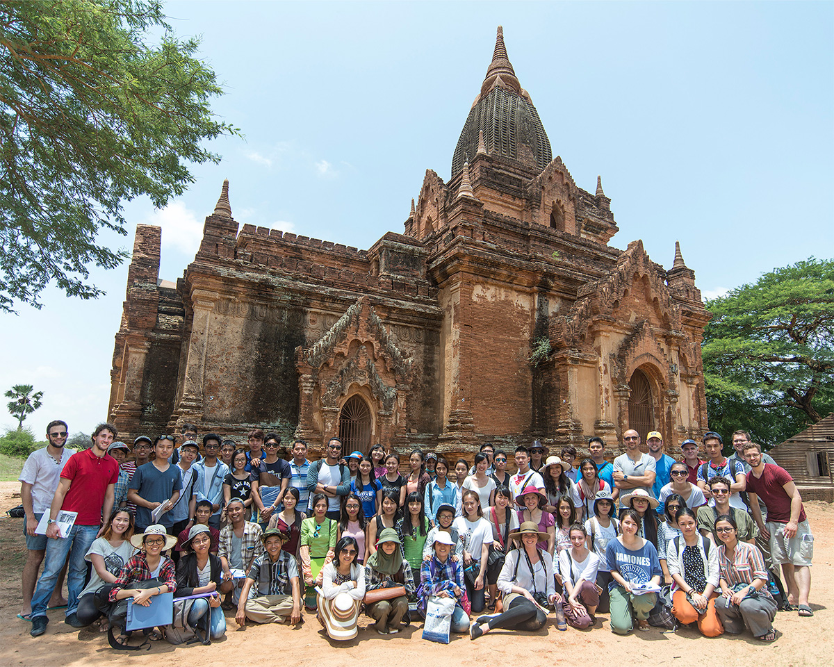
Bagan’s landscape contains over 3000 Buddhist temples, the richest collection in the world. The scope of the work included data collection and its analysis on 4 temples: (1) Loka Hteik Pan; (2) Eim Ya Kyaung; (3) Khe Min Ga Zedi; (4) Ananda Gu Hpaya Gyi. Each temple had a unique aspect: wall paintings, physical form, or prominence.
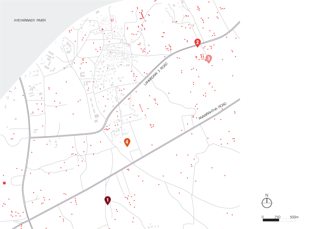
LEGEND
1-Loka Hteik Pan
2-Eim Ya Kyaung
3- Khe Min Ga Zedi
4-Ananda Gu Hpaya Gyi
PRIMARY RESEARCH
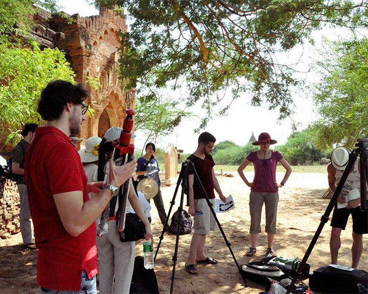
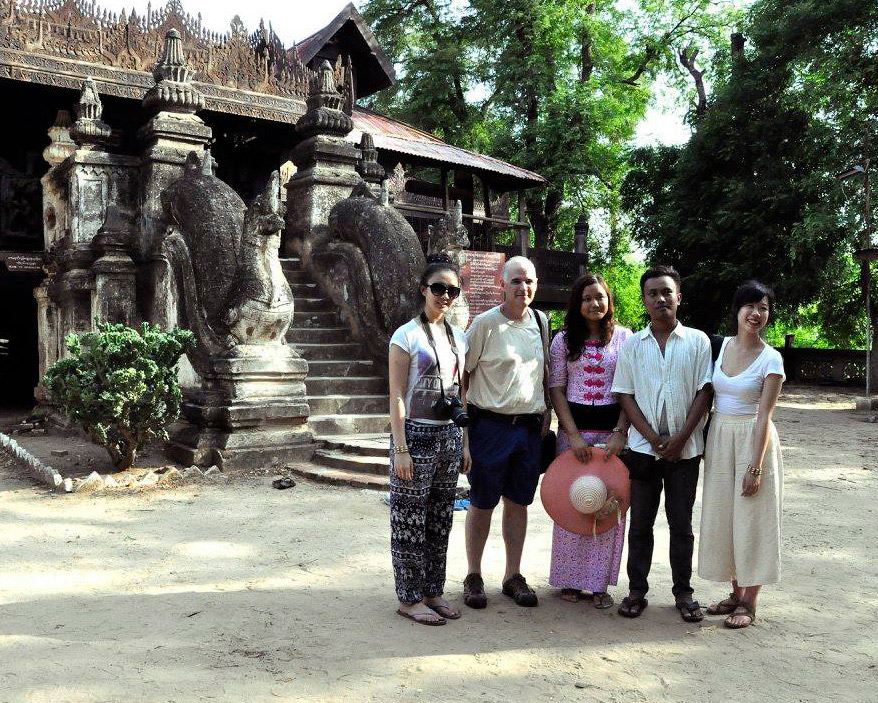
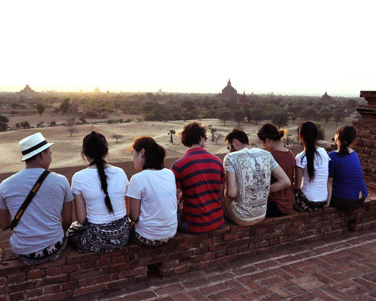
Trip to Myanmar
Techniques include:
• Laser Scanning
• Photography (Camera & Drone)
• Interviews with locals
• Hand Sketches
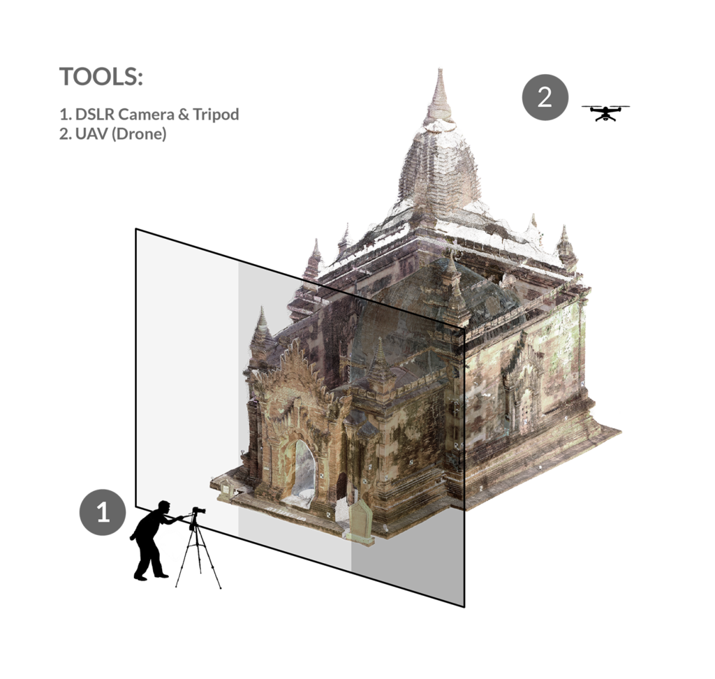
TECHNIQUE
Photogrammetry
• Minimum 3 Photographs
• Each photo to have 60-80% overlap
TECHNIQUE
Laser Scanner
• Collects GPS location and colour (among other things)
• Photogrammetry is often used to supplement missing information
CONSOLIDATION
Making Usable Data
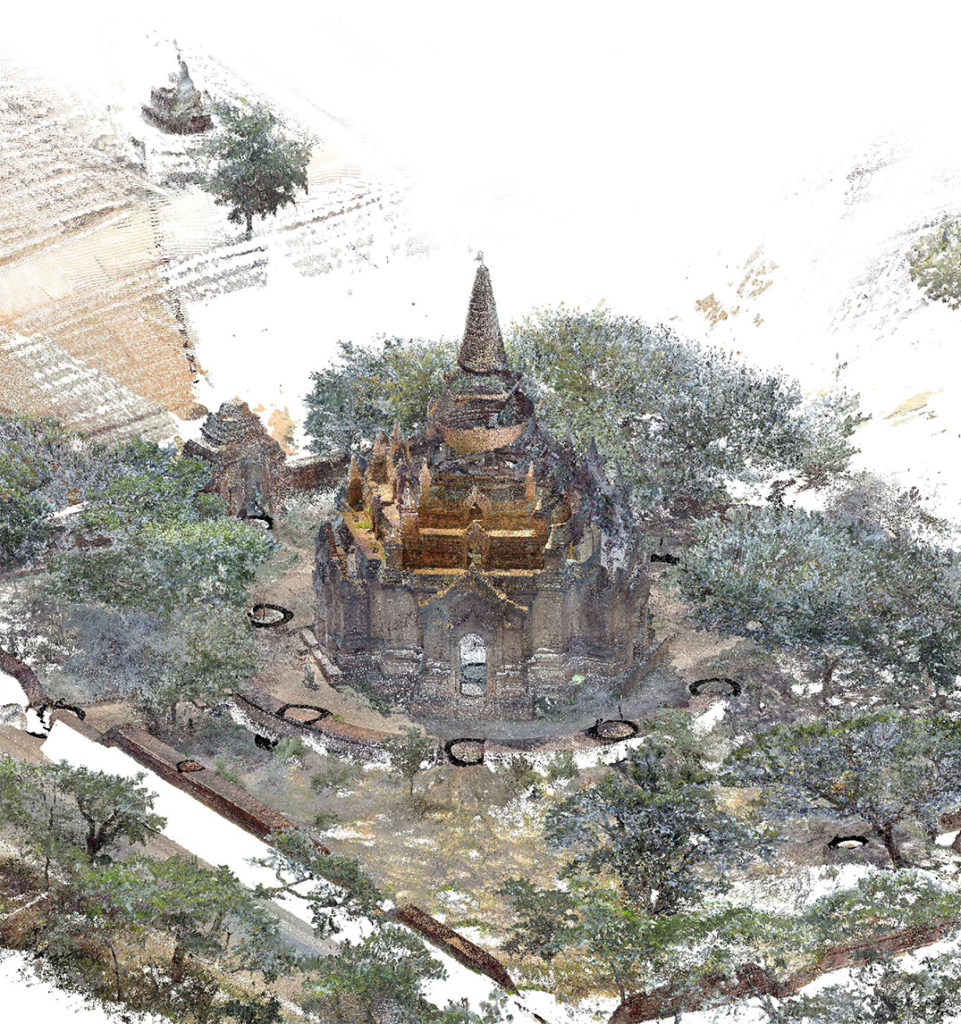
Our primary research data first needed to be consolidated. At the least, we needed to merge the scans into point cloud models, transcribe the interviews, and catalogue the decay. This is because it would from the basis to protect and analyze each temple.
• Point cloud model = 15-20 laser scans
• Transcribing the temple’s history (Loka Hteik Pan’s caretaker recounted the wall painting stories
• Sketches and photos of decay catalogued
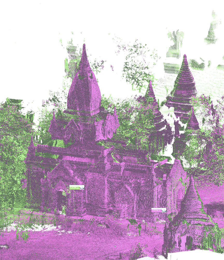

POINT CLOUD MODEL
Eim Ya Kyaung
INTERPRETATION
3D Models, Photographs & Drawings
LOKA HTEIK PAN: SOUTH ORTHOPHOTO
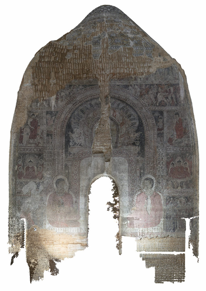
MAPPING STORIES
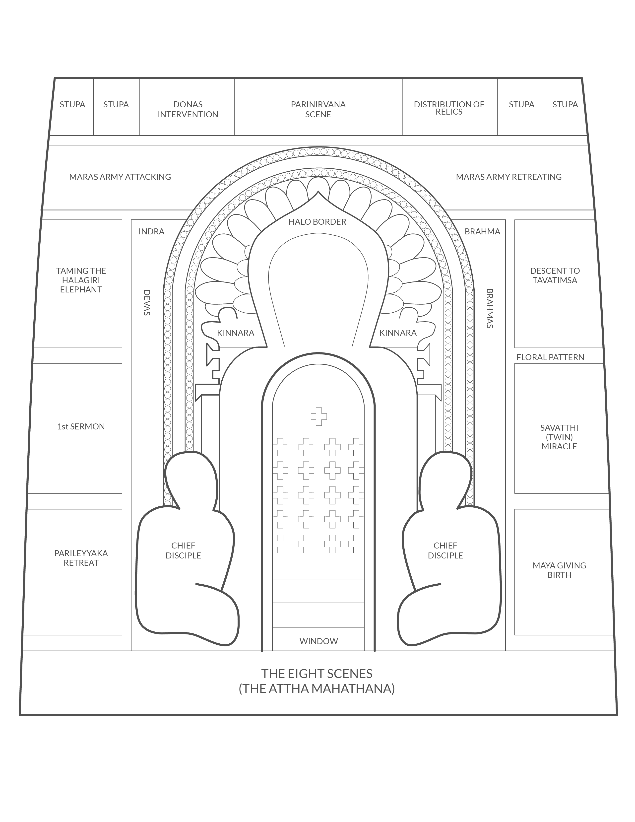
Loka Hteik Pan BIM
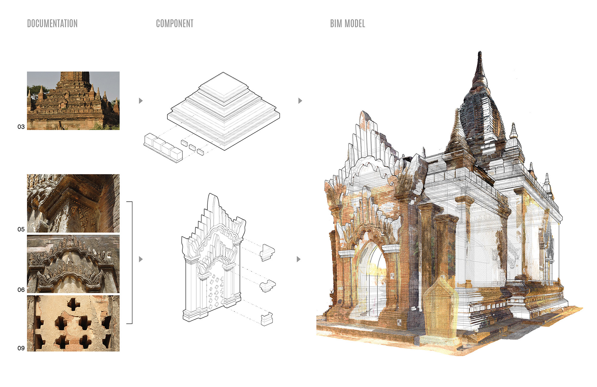
I created a building information model (BIM) with a system of building components. This was used to create measurable drawings and collect quantitative information (i.e. brick volume). This was a parametric model, which could also be imported to virtual reality systems. From the findings, we also wrote a preliminary set of “character-defining elements”. This is the term used in Canada to describe the elements making a historic place important.
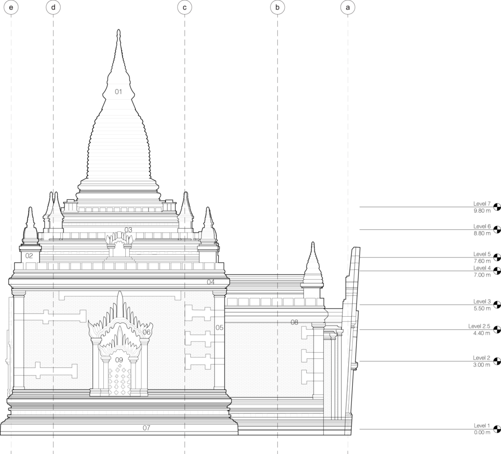
Character-Defining Elements
1 – Sikhara Square Tower
2 – Corner Stupas
3 – Terrace
4 – Crenellation on Parapet
5 – Corner Pilaster
6 – Window Architrave
7 – Base with recess
8 – Ornate Mouldings
9 – Perforated Brick Windows
DRAWINGS
East Elevation
Original Scale: 1 to 120
Drawn: Plotted from BIM Model
Temple: Loka Hteik Pan
Inventory No: 1580
REFLECTION
Outcomes
Currently the site has been awarded UNESCO Heritage status in 2019! Future steps include fostering partnerships that will continue the preservation and upkeep of the sites, as well as collecting more data on the existing landscape of temples. While I’m happy with the outcome, I think the political climate of Myanmar will make it difficult to focus on heritage work.
Next Project
Hopeful Letter to a Dear Friend